|
|
|
|
|
|
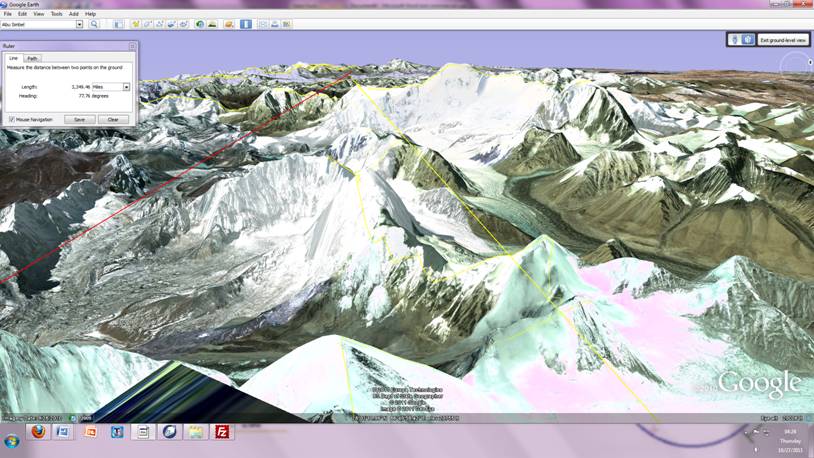
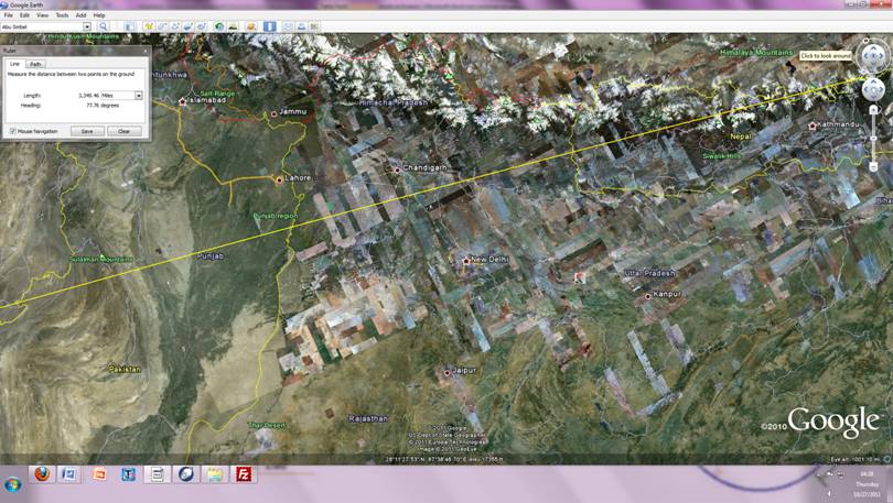
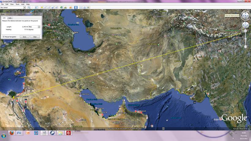
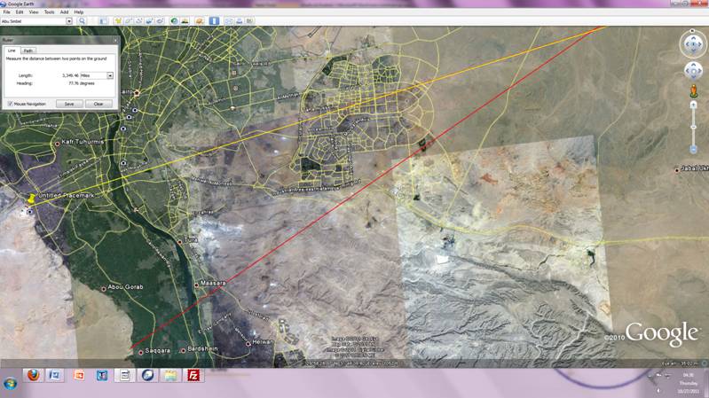
Khufu to Everest The causeway leading away from Khufu to the NE leads with laser light dead on effectiveness to the very top of mount Everest.
View of the very top of Everest directly at the Khufu Pyramid more than 3349.46 miles away. From on top of Everest looking directly at Khufu; you would be looking directly at the very center of the causeway into the porch of the entrance temple. Standing on the tallest mountain looking directly at the world longest tallest building 2600bce-1600 c. e.; was the tallest building in the world for 4000 years.
From the top summit of Everest the red and yellow lines track to Khufu. Direct line connecting Khufu to Everest.
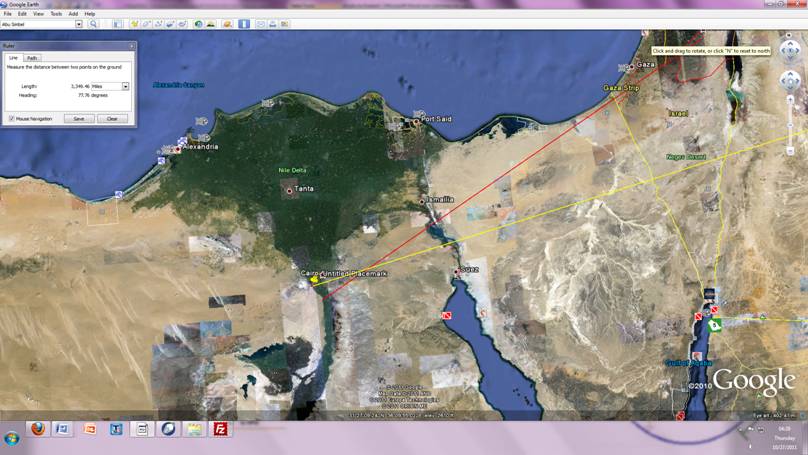
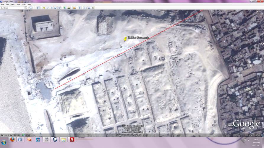
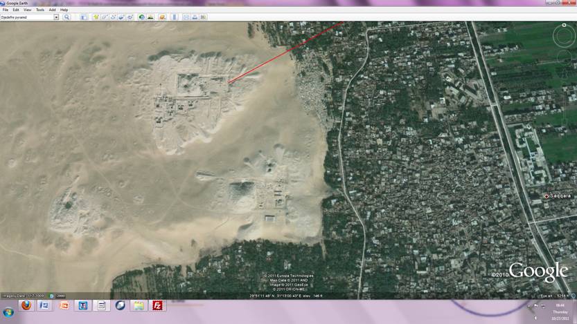
A different red line extends from the causeway (illustrated below) through the town of Bethlehem (close to the church of the nativity. The exact location of the church has been lost to razzing at least 3 times from 30-300 when Constantinople attempted to locate it. The manger is probably under an existing building or the manger itself is in a slightly different configuration different building entirely.). The compass points extending NE from the ? (first pyramid designed by Imhotep) an the Khufu pyramid (I theorize dedicated to Noah) causeway intersect at this point The Khufu causeway red line extension
Since most of the causeway has been destroyed, I used the line of where the surrounding buildings which bumped up against the causeway as a guide. This strongly points to a megalithic structure was on this plateau before the construction of the pyramids started(which is backed up by the biblical account of Jaccobs ladder; he might have actually build a real ladder to heaven.). Since Everest and all the Himalayan were in the People of Kaern territory. We know this because megalithic structures can be found throughout the entire area; east west from Greenland to Japan, north south from the arctic circle to the Sahara.
The different causeway through Bethlehem
|
|
|
|
|
|